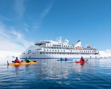
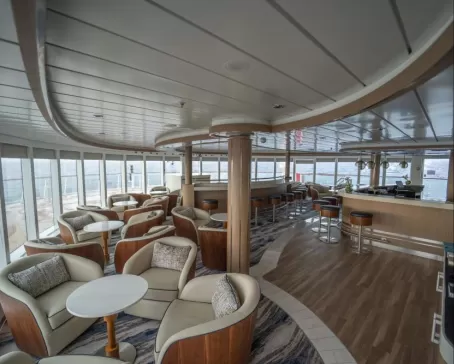
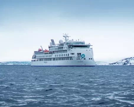
- Ship
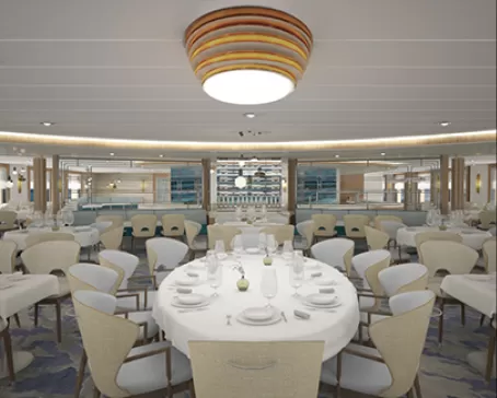
- 4 Breakfasts, 4 Lunches, 4 Dinners
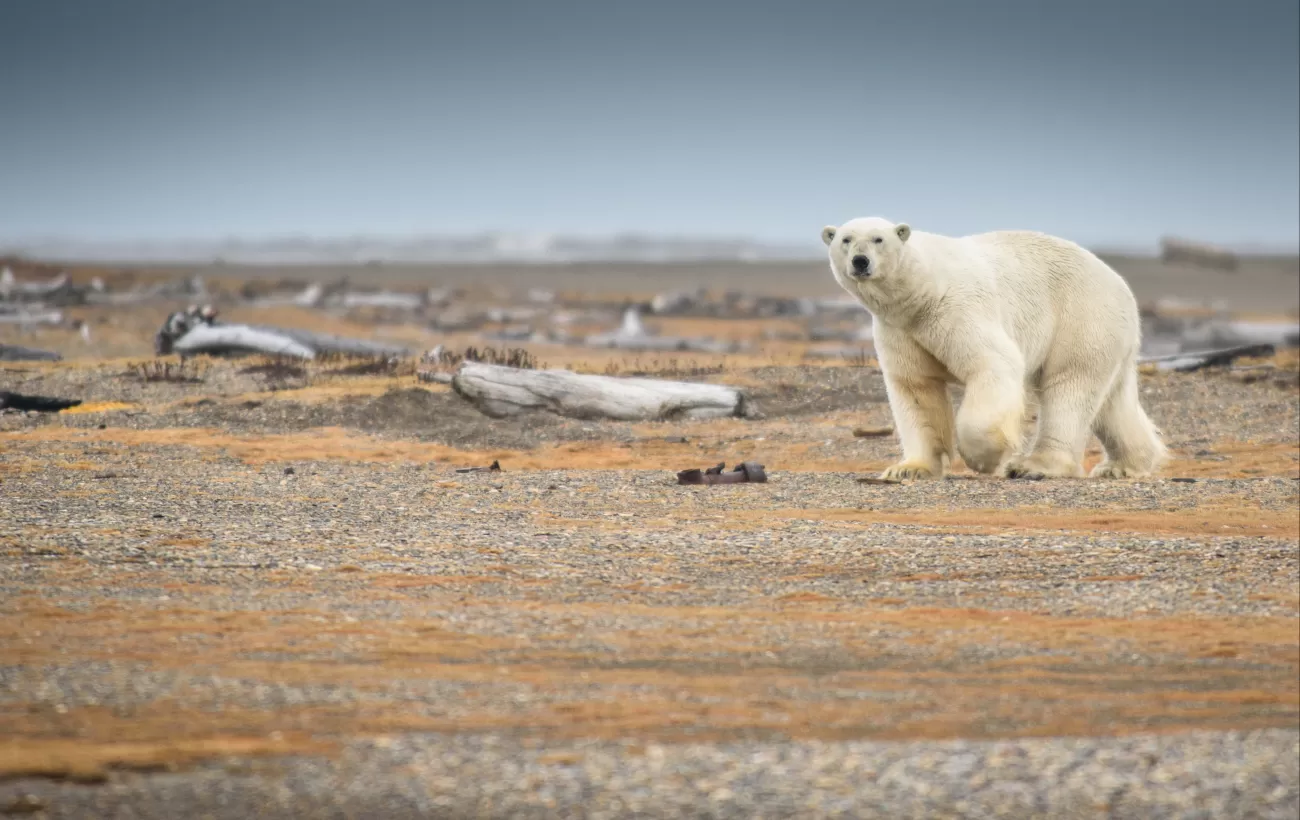
Over the next three days, the Svalbard Archipelago is yours to explore. The experienced expedition team, who have made countless journeys to this area, use their expertise to design the voyage from day to day. Make the best use of the prevailing weather, ice conditions and wildlife opportunities. Possible landings or Zodiac excursions a few times a day; cruising along spectacular ice cliffs, following whales that are feeding near the surface, making landings for hikes.
Isfjorden
Alkhornet, at the northern entrance of Isfjorden, is a striking landmark. The landscape around this large bird cliff is lush and beautiful. East of Alkhornet you can find a deep and several kilometer long bay with an exciting and diverse history. Here you will find important and vulnerable cultural remains dating from several of Svalbard’s historical periods.
Kongsfjorden (Kings Bay)
Kongsfjorden and the surrounding country are known to be one of the most beautiful fjord areas in Svalbard. The fjord is headed by two giant glaciers, Kronebreen and Kongsvegen. Hike on the lush tundra amongst the summer flowers and observe the remarkable bird cliffs near the 14th July Glacier, where even a few puffins nest between the cracks in the cliffs.
Nordvesthjørnet and Raudfjorden
It was here, in the far north-west, that Willem Barentsz and his crew discovered new land on June 17, 1596. They described the land as being “rugged for the most part, and steep, mostly mountains and jagged peaks, from which we gave it the name of Spitsbergen”. In the centuries that followed, the large number of bowhead whales found here attracted whalers from the Netherlands and various other countries, and the area became a place of high activity, both on the shore and in the surrounding sea. This is why Nordvesthjørnet offers the largest concentration of graves, blubber ovens and other cultural treasures on Spitsbergen, all dating back to this first era of the exploitation of Svalbard’s natural resources.
Magdalenefjorden
Cruise northwards along the west coast of Spitsbergen, visiting intriguing places like Magdalenefjorden, located inside the Northwest Spitsbergen National Park. According to historical sources, Magdalenefjorden was first used by the English in the early days of the whaling era. They erected a land station on the headland and named the area Trinity Harbour. The station was closed in 1623, but the cemetery remained in use.
Smeerenberg
The name “Smeerenburg” means “Blubber Town”. Its whaling station served as the main base for Dutch whaling in the first half of the 17th century, which was the period when whale hunting was still happening along the coastline and in the fjords of Svalbard. Smeerenburg is situated on the island of Amsterdamøya, surrounded by fjords, tall glacier fronts and steep, rugged mountains. The most obvious sign of its days as a whaling station are the large cement-like remains of blubber from ovens where the blubber was boiled. The rest of the old Smeerenburg has largely disappeared under layers of sand.
Woodfjorden, Liefdefjorden and Bockfjorden
Located along the north coast, Woodfjorden, Liefdefjorden and Bockfjorden are rarely-visited places. This is the land of contrasts. By the large, flat Reinsdyrflya there is a great fjord system that stretches towards several mountain ridges of varying shapes and ages, including alpine summits of very old granite, majestic red mountains.
Moffen Island
Moffen Island is situated directly north of 80°N. After the near-extinction of walrus in Svalbard in the middle of the 20th century, Moffen Island played an important role in re-establishing the species here, a process which is still going on. Today, there are often larger numbers of walrus hauled out at the southern tip of the island. This is the reason why Moffen is protected. Approach during the summer (15th May to 15th September) is limited to a minimum distance of 500 metres / 1,640 feet.
Sjuøyane (Seven Islands)
In the very north of Svalbard, in the ocean north of Nordaustlandet, is the little archipelago of Sjuøyane (the seven islands), with its characteristically hat-shaped mountains. The hard granite mountains have acquired a green covering of moss due to thousands of breeding seabirds. Walrus dive for clams in the waters between the islands and in the bays. Most of the islands have been named after the English North Pole expeditions led by Phipps (1773) and Parry (1827).