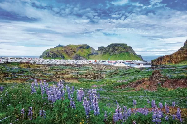
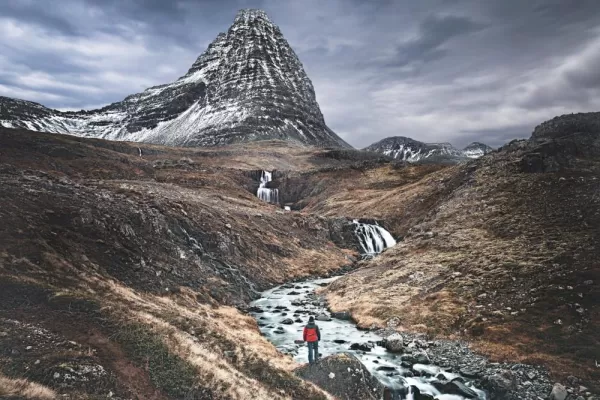
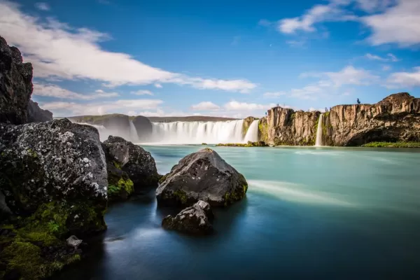
Grundarfjordur is the gateway to the Snaefellsnes Peninsula, a region often described as ‘Iceland in miniature’ for its remarkable concentration of glaciers, lava fields, mountains, fishing villages, and wave-sculpted coastline. Dominating the peninsula is the glacier-capped Snæfellsjökull volcano, immortalized by Jules Verne in Journey to the Center of the Earth. Expect to travel ashore by Zodiac, taking in views of the surrounding coast before making a dry landing.
Personalize your expedition with an included ‘Your Choice’ experience suited to your interests and fitness level.
Option 1 – Kirkjufell, Craters & Coastal Wonders
Duration: 7 hours, including lunch
Level of difficulty: Comprehensive. Coastal hike approximately 3.4 kilometers (2.1 miles) one way; easy technical difficulty; approximately 1–2 hours.
Terrain: Lava fields, rocky and uneven ground that may be slippery when wet, and an elevation change of approximately 52 meters (173 feet). Good mobility is required.
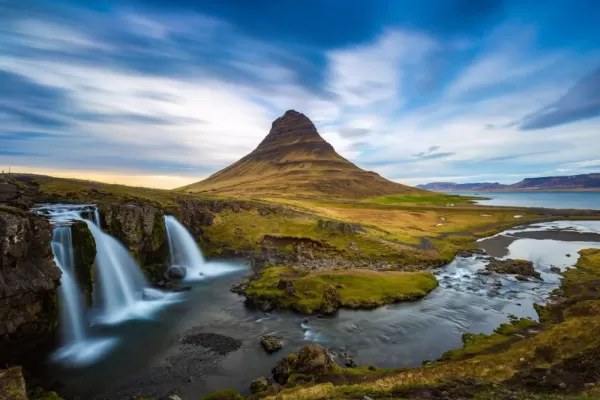
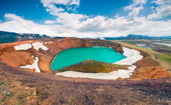
Begin with one of Iceland’s most recognisable views: arrow-shaped Kirkjufell rising beside the cascades of Kirkjufellsfoss. Continue across the peninsula to Saxhóll, an ancient volcanic crater where a staircase leads to the rim and sweeping views across moss-covered lava fields towards Snæfellsjökull. At Djúpalónssandur, walk across a dramatic black-pebble beach scattered with the rusted remains of a British trawler wrecked here in 1948. You may also test the historic lifting stones once used to assess the strength of local fishermen.
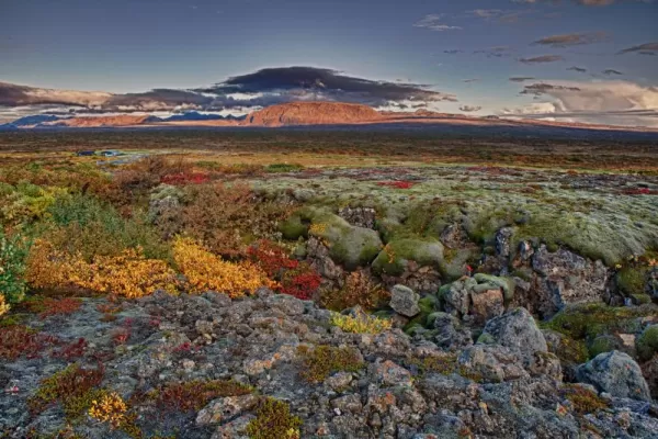
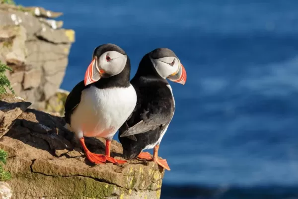
After lunch, choose how you would like to explore. Walk the celebrated coastal trail toward Hellnar, passing the Gatklettur sea arch, sculpted lava formations, and basalt cliffs busy with Arctic terns, kittiwakes, gulls, and fulmars. Those preferring a gentler pace can spend more time discovering Arnarstapi and its harbor, while faster hikers may have the opportunity to complete the return walk. Return to Grundarfjörður through the peninsula’s mountainous interior, where lakes and wide-open scenery reveal yet another side of Snæfellsnes.
Option 2 – Snæfellsjökull Coastal Hike
Duration: Up to 7 hours, including lunch
Level of difficulty: Active
Elevation: Predominantly low-lying coastal terrain with undulating sections and short ascents and descents. Maximum elevation gain is approximately 100 meters (328 feet).
Terrain: Uneven coastal paths, lava fields, rocky trails and grass-covered tracks. Surfaces may be slippery when wet and exposed to strong winds. Good fitness, balance and mobility are required. Sturdy walking shoes or hiking boots with good grip are strongly recommended.
Djúpalónssandur to Arnarstapi – Fast Hikers
Distance: Approximately 14.7 kilometers (9.1 miles)
Level of difficulty: Challenging
Begin at Djúpalónssandur, where a black-pebble beach is scattered with the rusted remains of a British trawler wrecked here in 1948. From the shore, follow the longer coastal route through ancient lava fields and exposed volcanic terrain. Dramatic cliffs, secluded coves and sweeping Atlantic views accompany you towards Arnarstapi.
Malarrif to Arnarstapi – Moderate Hikers
Distance: Approximately 9 kilometers (5.6 miles)
Level of difficulty: Moderate
Begin near the Malarrif Visitor Center, beneath the distinctive lighthouse and glacier-capped Snæfellsjökull. Follow the gentler coastal route through moss-covered lava fields, passing rugged cliffs, sea stacks and wave-sculpted formations on the way to Arnarstapi.
In Arnarstapi, admire the striking Gatklettur sea arch and basalt cliffs, which provide nesting habitat for Arctic terns, kittiwakes, fulmars and gulls. Reunite with your fellow hikers before returning to Grundarfjörður having experienced one of the country’s most memorable coastal hiking routes.